-
Œuvres d'art
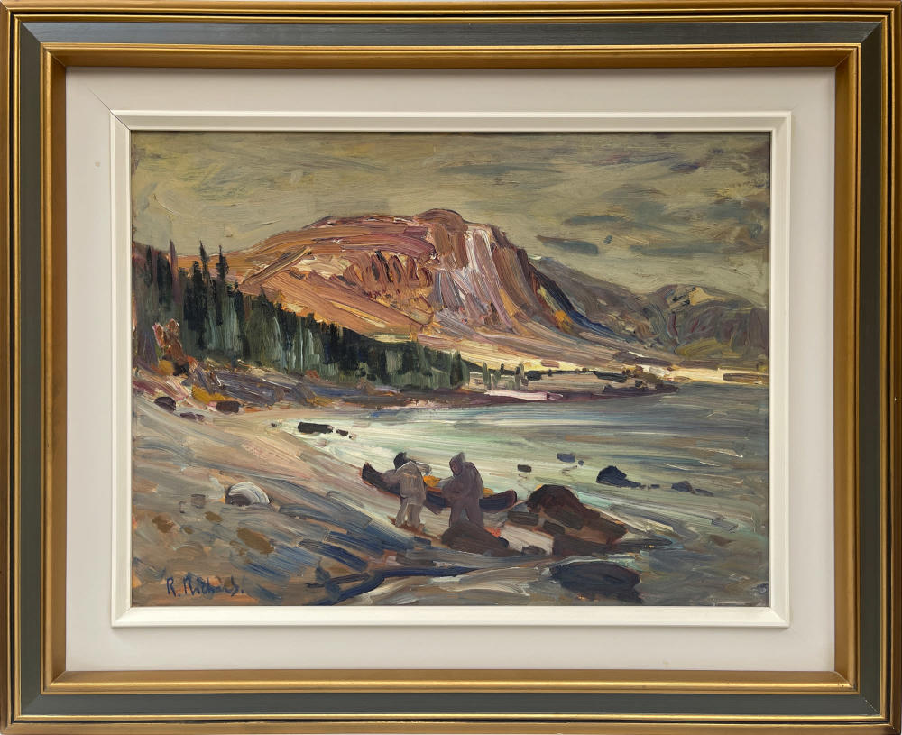
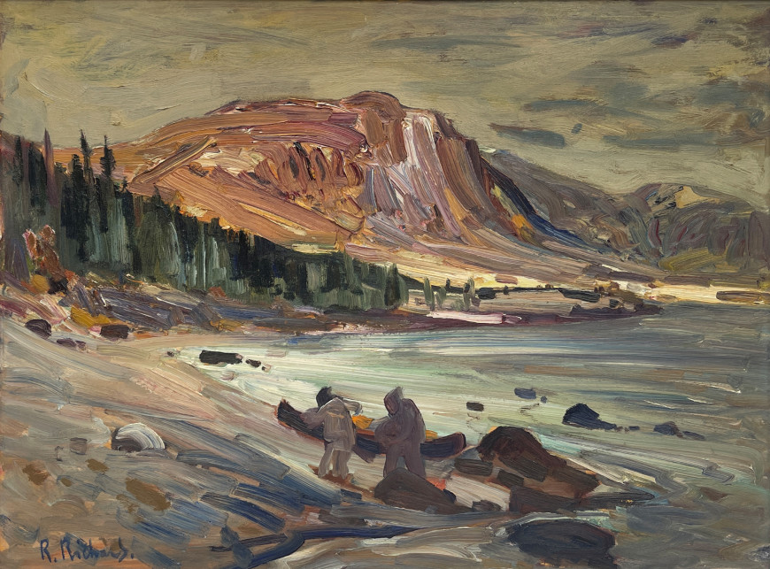
René RichardRivière Georges, Ungava1895-1982Oil on board18 x 24 in
45.7 x 61 cmSoldInscriptions
signed, 'R. Richard.' (lower left)Provenance
Murray V. Cain and Marie Feeney, Fredericton, New Brunswick;
Mr Michael H. Cain and Mrs. Huguette Potvin, Chicoutimi, Quebec;
The Estate of Huguette Potvin Cain.
Expositions
La-Chaux-de-Fonds, Neuchâtel, Switzerland. Musée des beaux-arts La-Chaux-de-Fonds, René Richard 1895-1982. Peintre trappeur. October 4, 1992 to January 3, 1993.Titled on a scrap of paper and written in Richard’s hand, “Rivière Georges, Ungava $150” above it and scored out, also in the hand of the artist “La vieille maison, Baie St Paul”. Richard’s final work may be painted on top of a work he was unsatisfied with and hence reused the wood board.
This composition is probably resolved from drawings Richard executed in between 1948 and 1951 sketching in the region. One might reasonably say that he has described local Innu pulling their canoe ashore. The size of the caribou herd and its decrease over the last few decades is of great concern to Innu and others mindful of conservation of this magnificent and vast region.
The following account copied from a dated study of the region gives an indication of how treacherous this river is.
“The river usually known as George’s river (Kan´gûk¢lua´luksoak) is the largest on the eastern side. This stream takes its rise about latitude 55° and pursues a moderately tortuous course nearly northward and falls into the eastern side of Ungava Bay. It has a wide bay-like mouth narrowing rapidly at the mouth proper. Swift rapids are formed here on account of an island near the center. Beyond this the river expands and has an average width of half a mile for a distance of about 18 miles where the river bends eastward and forms rapids for over 2 miles. It is navigable for the steamer Labrador only about 12 miles. Beyond the rapids it runs tolerably smooth and deep for nearly 40 miles and thence to the source is a series of rapids and falls, rendering portages frequent, and making it utterly impracticable for even a heavy skiff to ascend beyond 70 miles from the mouth. Indians assert that high falls occur about 150 miles from the mouth of the George’s river. The water is said to fall from a terrific height, almost perpendicularly, and it causes the ground to tremble so that the thundering noise may be heard for more than a day’s journey from it.The tide at the mouth of George’s river rises 53 feet, and at the 170 Anchorage, opposite the newly established station of Fort George, some 12 miles from its mouth, 42 feet.”
(Source: https://www.gutenberg.org/files/39659/39659-h/39659-h.htm)


